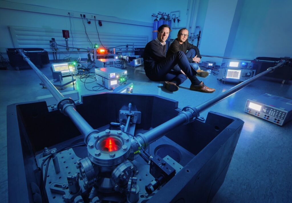
P1: Technology advancement of large ring lasers (1 Postdoc, 2 PhD students)
Prof. Dr. Simon Stellmer (University of Bonn, project leader), Dr. Jan Kodet, Prof. Dr. Ulrich Schreiber (TU Munich), Prof. Dr. Heiner Igel (LMU Munich).
Ring laser gyroscopes are highly sensitive inertial optical interferometers, exploiting the Sagnac effect on two counter-propagating laser beams in a ring cavity enclosing an area. Today, this technology has matured to routinely obtain the precession and nutation motion of the rotational axis of Earth, which moves by as little as 50 arc seconds per year: ring laser are excellent sensors to observe geophysical phenomena of the system Earth. Apart from variations in the global Earth rotation that influence the rotational velocity or the orientation of Earth in space, a ring laser also senses local seismic ground motion, the rotational component of the microseismic background and the earthquake-induced toroidal eigenmodes of Earth. Sensitivity and stability of current ring lasers are limited by processes not yet fully understood. This includes the dynamics of the gaseous laser medium, thermal coating noise and birefringence of the mirror coatings, coupling between the counter-propagating laser modes, as well as Rayleigh scattering from the residual gas. This project aims to systematically study and understand these phenomena, and to devise methods to mitigate or correct for these systematic effects. Improved ring lasers will reach the quantum shot noise limit even for extended integration times, and will provide high-quality and worldwide unique data to the other projects within the interdisciplinary RING research unit.

P2: Transportable high-performance ring lasers (4 PhD students)
Dr. Felix Bernauer (LMU Munich, project leader), Prof. Dr. Simon Stellmer (University of Bonn), Prof. Dr. Katharina Isleif (HSU Hamburg), Prof. Dr. Oliver Gerberding (University of Hamburg).
Observing motion and deformation of a 3-dimensional body in a 3-dimensional space is the basic approach to problems in many scientific fields ranging from seismology and geodesy over space exploration and gravitational wave detection to navigation and structural health monitoring. Up to now, no portable sensor exists that is able to measure rotational components of ground motion that are similar or below the level of the rotational seismic background noise in the frequency range below 1 Hz. The project of the research unit RING seeks to change this situation. We propose to develop and test a passive ring-laser gyroscope (RLG) that can measure the secondary microseismic peak of the rotational background noise spectrum. To comply with a wide range of applications, a crucial design criterion will be its transportability. To reach this goal, we will use advanced optical and mechanical simulation tools and incorporate recent progress in quantum optics into hard- and software development. Specifically, we will break new ground in sensitivity achievable with transportable passive RLGs by addressing of phase noise due to backscatter, frequency noise induced by the locking scheme, mechanical instabilities and coating thermal noise. Thorough testing and performance evaluation in laboratory and field experiments will demonstrate the sensor’s applicability for geophysical field studies as proposed in other projects of the RING research unit. We expect that our sensor will allow to explore the fundamental limits of ring-laser technology and that it sets new standards for ground rotation sensing with transportable instruments. The sensor will serve as an enabling technology for a wide and diverse range of scientific applications including seismology volcanology, planetary exploration, gravitational wave detection, inertial navigation and geodesy. Our sensor development is at the heart of the research unit RING because its successful implementation will allow for new discoveries with rotation sensing in geophysics and geodesy at an unprecedented sensitivity level, which is the driving overall RING objective.
P3: Mutual benefits of integrating ring laser into space geodetic data analysis for determining Earth rotation (2 PhD students)
Dr. Daniela Thaller (BKG Frankfurt, project leader), Prof. Dr. Susanne Glaser (University of Bonn).
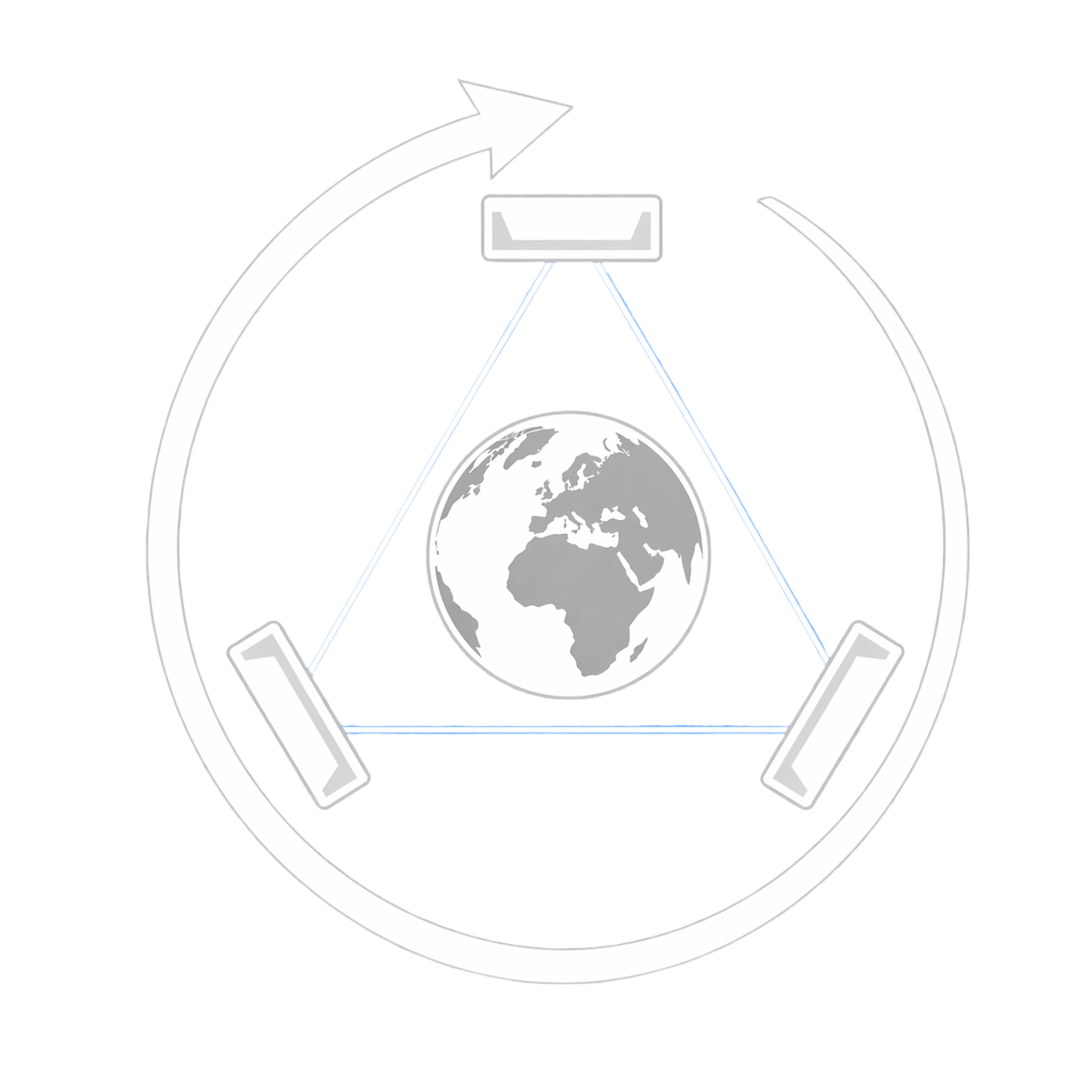
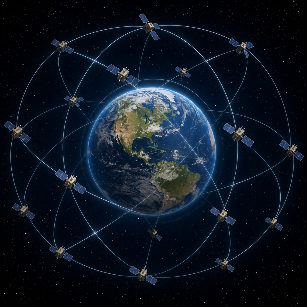
Very accurate knowledge of the Earth’s orientation is required for a wide range of applications such as positioning and navigation on Earth and in space. The Earth Orientation Parameters (EOPs), i.e., terrestrial pole coordinates, UT1-UTC, length of day (LOD), and celestial pole coordinates, can be determined by space geodetic techniques such as GNSS, SLR, VLBI. These techniques have individual strengths and weaknesses, and, therefore, need to be combined for a high-quality solution. For instance, VLBI is the unique source for determining UT1-UTC and celestial pole, but does not provide continuous observations. The strengths of GNSS and SLR compared to VLBI are the continuous observations as well as the accuracy reached for pole coordinates and LOD. Furthermore, typical EOP series operationally available nowadays have a daily resolution only. In contrast, ring laser (RL) provides continuous information about Earth’s rotation with high temporal resolution, although it measures a slightly different quantity than space geodesy. The recent developments in the RL technology open a unique opportunity to determine EOP series with higher accuracy and temporal resolution. This project aims to elevate EOPs to a new level of accuracy and temporal resolution by a rigorous combination of RL and space geodetic data. Such high-quality products are urgently needed as the accuracy requirements, in particular for an accurate and reliable Earth system observation (e.g., global sea level rise) set by the Global Geodetic Observing System (GGOS), are not yet met. We will extensively analyze RL and space geodetic data (VLBI, GNSS, SLR) individually with common state-of-the-art procedures and consistent software. The optimal and maximal possible temporal resolution is investigated for all data types. Once the strengths and weaknesses of all data sets are understood, the VLBI, GNSS, SLR and RL data are combined. The combination is done step-wise in order to study the benefit of a combination of each subset of data, and to be able to develop the optimal combination strategy. Dedicated validation procedures need to be designed. Special attention is paid to the impact of the improved combined EOPs on other geodetic key products such as satellite orbits and global reference frames. Furthermore, as all space geodetic techniques have weaknesses in separating the rotational parts of sub-daily polar motion and nutation, the benefit by a combination with RL data will be investigated. Additionally, simulation studies will assess the impact of more RL distributed worldwide with different specifications on high-resolution EOPs. Based on these results, we will feed back the requirements for further developments of RL technology in a mutually beneficial way. The overall research question to be answered is: What improvements and mutual benefits can be achieved through the combination of space geodetic observations with RL data, and can the accuracy requirements of GGOS be achieved?
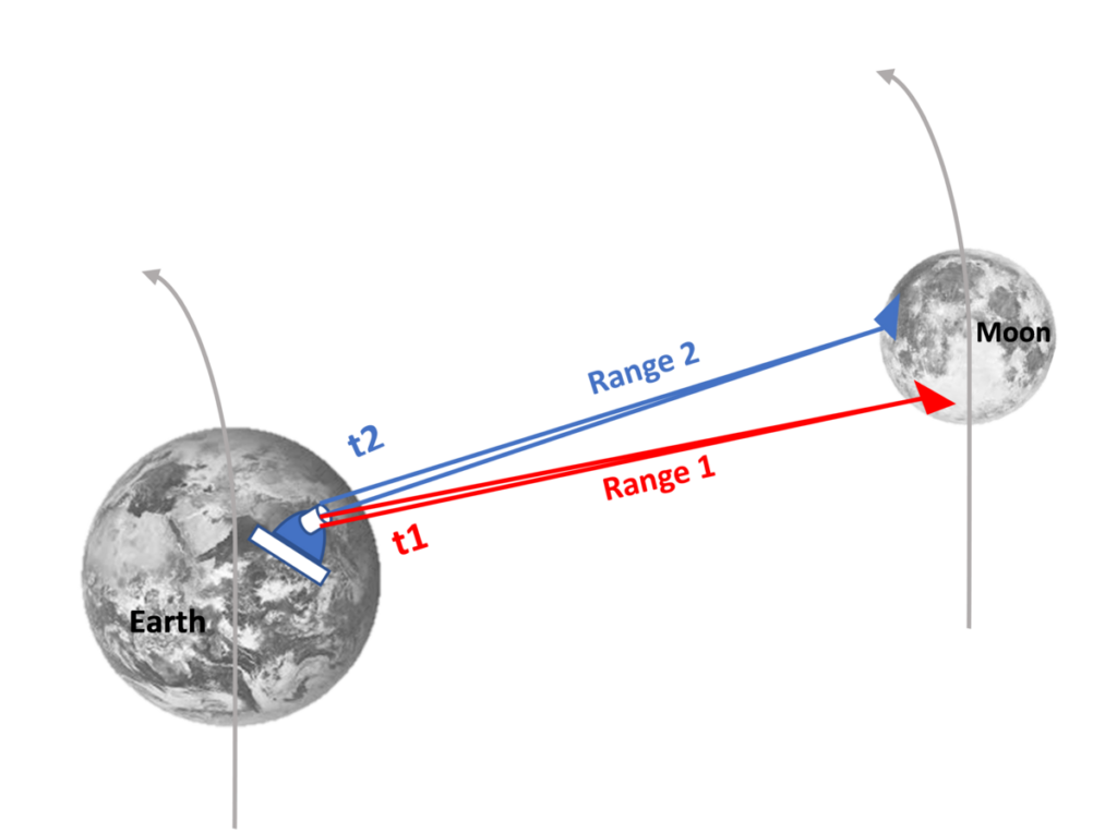
P4: Combination of ring laser with LLR and VLBI for optimal EOP determination and prediction (2 PhD students)
Prof. Dr. Jürgen Müller (University Hannover, project leader), Dr. Robert Heinkelmann (GFZ Potsdam), Prof. Dr. Harald Schuh (TU Berlin)
We will exploit the enhanced ring laser (RL) data for determining Earth Orientation Parameters (EOP) by combining RL with the complementary space geodetic techniques Very Long Baseline Interferometry (VLBI) and Lunar Laser Ranging (LLR). VLBI and LLR are unique in providing the full set of EOP, including the phase of Earth rotation ΔUT1 and precession/nutation. Moreover, they provide the links to the International Celestial Reference System (ICRS) realizations – kinematically via ICRF and dynamically via the Lunar ephemeris. In contrast, RL enable the direct and near real-time measurement of variations of Earth rotation with high temporal resolution. Due to the envisaged improvements of RL measurements and the advance of VLBI and LLR technologies in the Research Unit RING, we will determine a novel set of complete and consistent EOP by rigorously integrating RL, VLBI and LLR data. These unique EOP will cover the full frequency spectrum and provide a largely improved connection between the Earth- and space-fixed reference systems with utmost accuracy. The EOP and frame tie enhanced by RL will allow the determination of the link between lunar ephemeris and the extra galactic frame and a better separation of polar motion and precession/nutation. A further research objective is the prediction of EOP that will then also give improved values at high frequencies and allow the filling of observational gaps that often occur for VLBI and LLR. The three-technique combination will benefit the understanding of all involved techniques and will strongly support a more accurate determination of the specific VLBI and LLR parameters. One example is the worldwide leading tests of Einstein’s relativity theory in the Earth-Moon system and beyond that can then be carried out at the next level of accuracy thanks to the RL data. In the first funding phase, we will assess RL-based improvements for geodesy and fundamental physics through global scale simulations. The simulation of technical advance will include number and geographical distribution of the RL. In the second phase, a sufficient amount of observed RL data will be available to fully exploit their strengths.
P5: High precision ground motion, imaging and monitoring with rotational motions (2 PhD students)
Prof. Dr. Céline Hadziioannou (University Hamburg, project leader), Prof. Dr. Heiner Igel (LMU Munich)
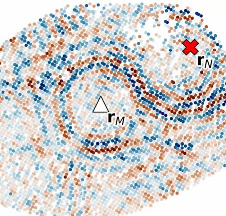
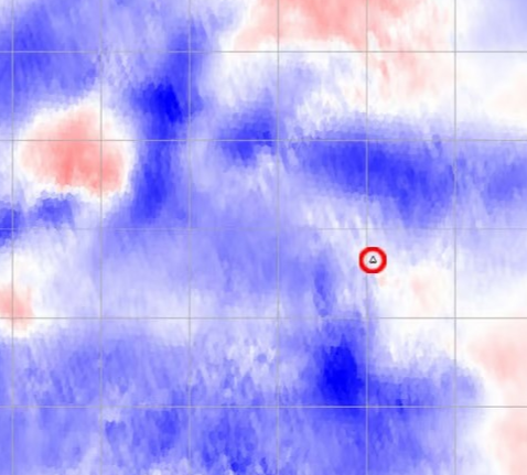
Joint observations of rotational and translational ground motions (6 degree-of-freedom, 6 DoF) have tremendous potential to complement classic seismic recordings in particular in challenging terrain (e.g., planets, volcanoes, oceans, cities). Building on high-sensitivity ring laser observations, we push 6 DoF observations into the realm of seismic interferometry and explore the substantially elevated sensitivity of wavefield gradients to local structure and noise source distributions. Here we specifically focus on the impact of imaging and monitoring the near-surface structure for environmental and tectonic effects (e.g., hydrological changes, stress changes). This supports one of the key RING Research Unit objectives to demonstrate the potential for photonic-based rotation sensing in geophysics.
P6: Environmental effects on long-period rotational measurements (2 PhD students)
Dr. Thomas Forbriger (Karlsruhe Institute of Technology, Black Forest Observatory, project leader), Prof. Dr. Andreas Güntner (GFZ Potsdam), Dr. Thomas Klügel (BKG Wettzell), Dr. Hartmut Wziontek (BKG Leipzig)
Ring lasers and other rotational sensors rigidly attached to the Earth provide data on the motion of the Earth’s body and information to constrain models of the Earth’s interior. They are inevitably contaminated by local crustal deformation due to atmospheric pressure fluctuations and hydrological water storage variations. Gravitational attraction effects of mass fluctuations in the atmosphere and hydrosphere also disturb the ring laser signal through affecting tiltmeter observations that are used for the orientation correction. Such (noise-) signals of local to regional origin present a serious barrier to the analysis of small amplitude rotation signals of interest. We will set out to break this barrier by separating these noise components from the total signal, based on independent measurements and modeling of the noise sources. By this we contribute to the RING goals of substantially pushing down the limits of rotational ground motion measurements to expand applications in fundamental physics, geodesy and geophysics. In order to gain access to the causes of the signal contamination, we will collect unique data sets. A large-N barometer array will provide unprecedented data of the atmospheric loading behind crustal deformation and the so-called pressure gradient rotation. Detailed hydrological and geophysical monitoring will provide data on water storage changes in the unsaturated zone and in groundwater. With hydrological modeling based on these data and additional regional-scale models in the surroundings of the G-ring at the Geodetic Observatory Wettzell we will compute deflections of the plumb line due to Newtonian attraction and local crustal deformation. Based on these data and models we aim to separate the rotation signals of interest from the local disturbances. As a result, rotation data of improved signal-to-noise ratio will be available for the RING projects to analyze Earth orientation parameters, length of day and long-period seismic waves.